
Reading the map
Block colours
Section titled “Block colours”The map colours each census block by how long it takes to reach the nearest place of the kind you selected, in the travel mode you chose.
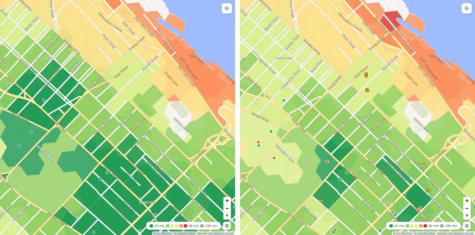
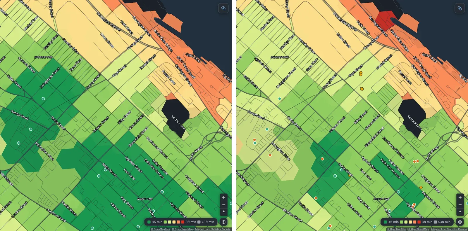
With several kinds of place selected, a block shows the longest of their times: green only when every one is close. With grocery stores and schools selected, a block 4 minutes from a grocery store and 22 minutes from a school is coloured for 22 minutes.
In towns and rural areas a block can cover several square kilometres, so the colour is drawn on hexagons about 130 m across inside it, each with its own time.
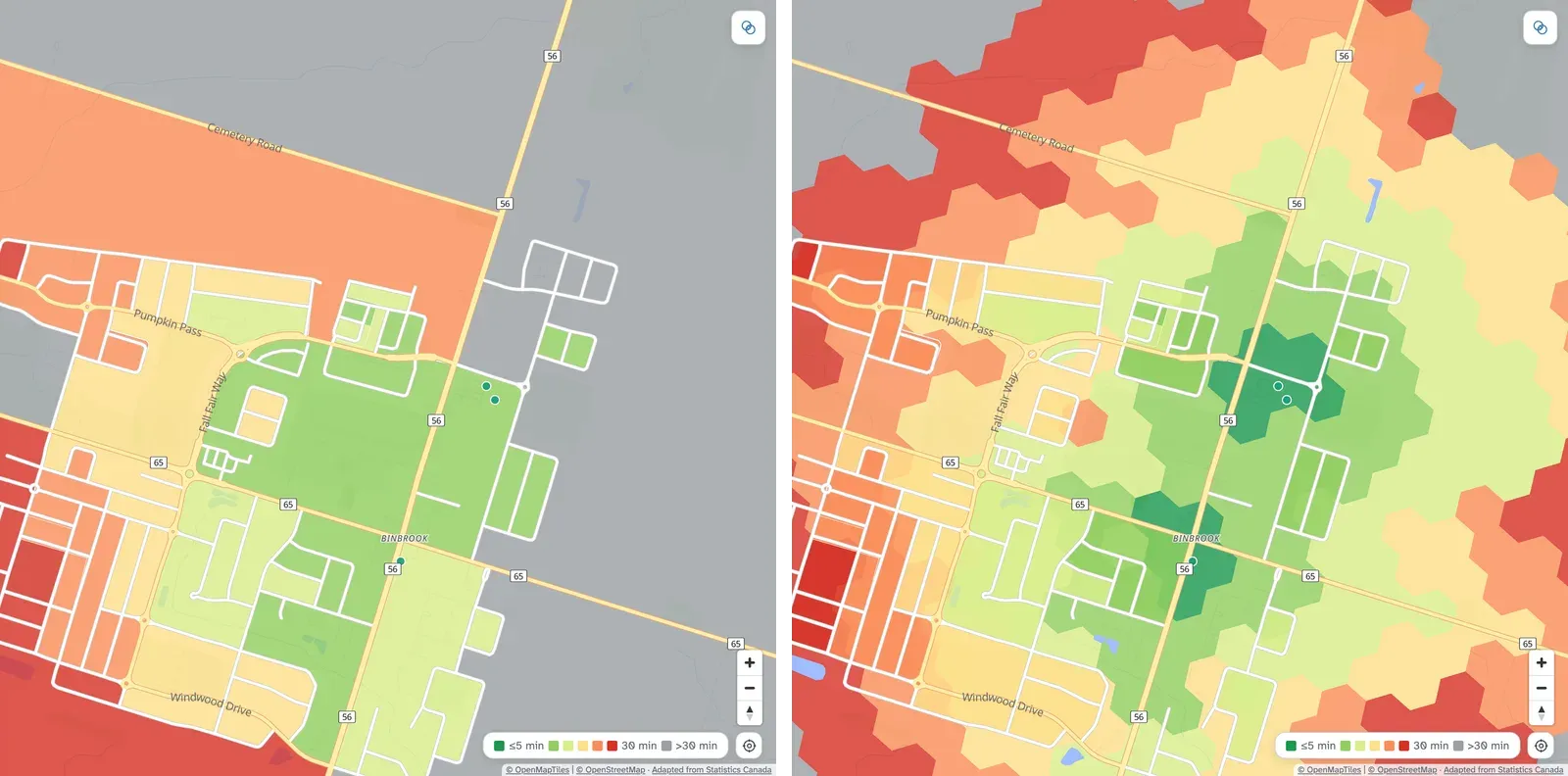
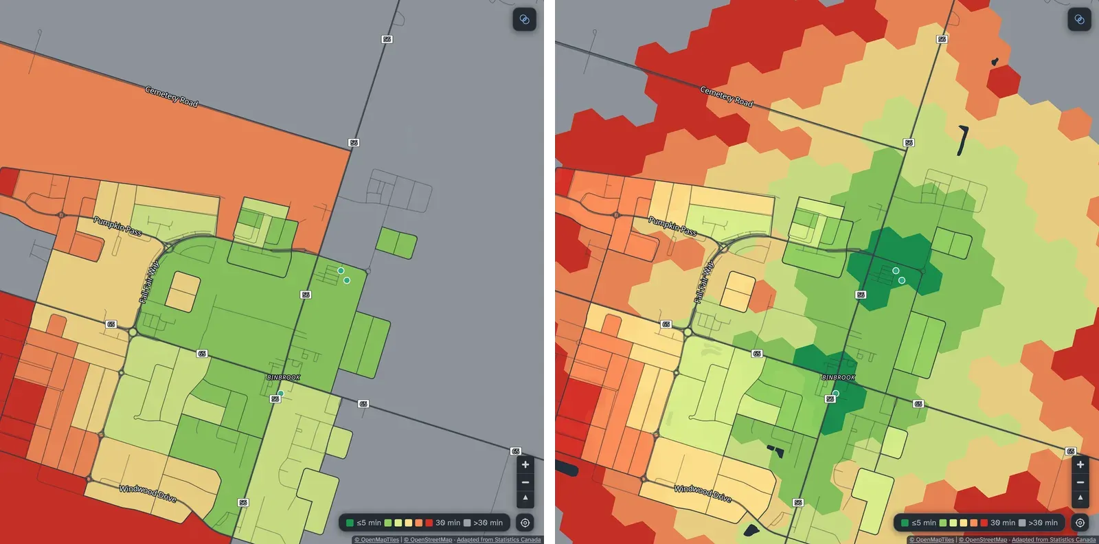
A blank block means no time could be calculated: either nothing of that kind is within 60 minutes, or the block could not be routed. The map shows both the same way, so treat a blank block as unknown (more in Known limits).
Amenity dots
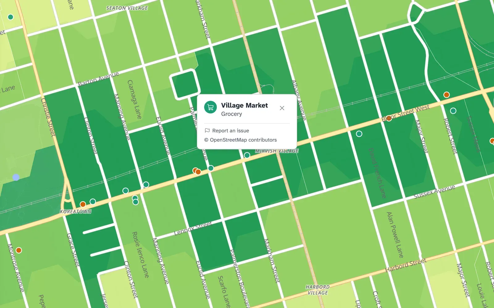
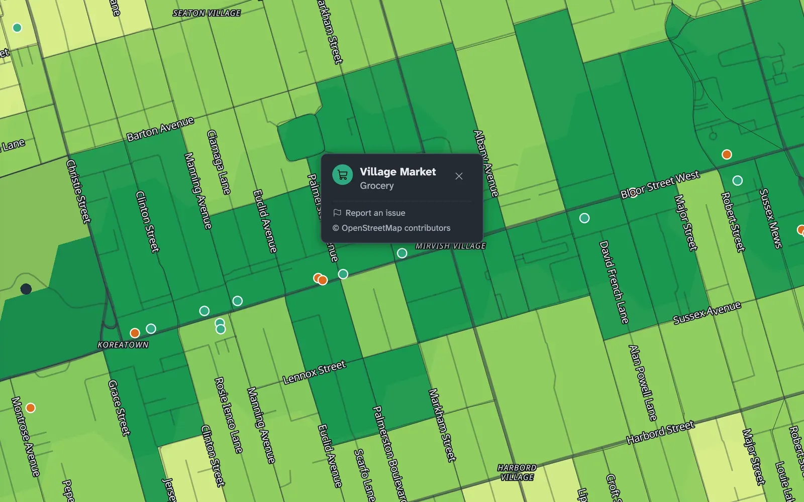
Section titled “Amenity dots”Dots mark the places the times are measured to, each grocery store, pharmacy, school, park and so on, coloured like its amenity’s row in the panel. Click a dot for its name and kind.
A dot that looks close can still be a long trip, and the block’s colour shows you the time of the real route. Places like these can take minutes longer than they look: a park across a highway with no crossing, a store whose only entrance faces the other street, or a school on the far side of a rail line.
Choosing amenities
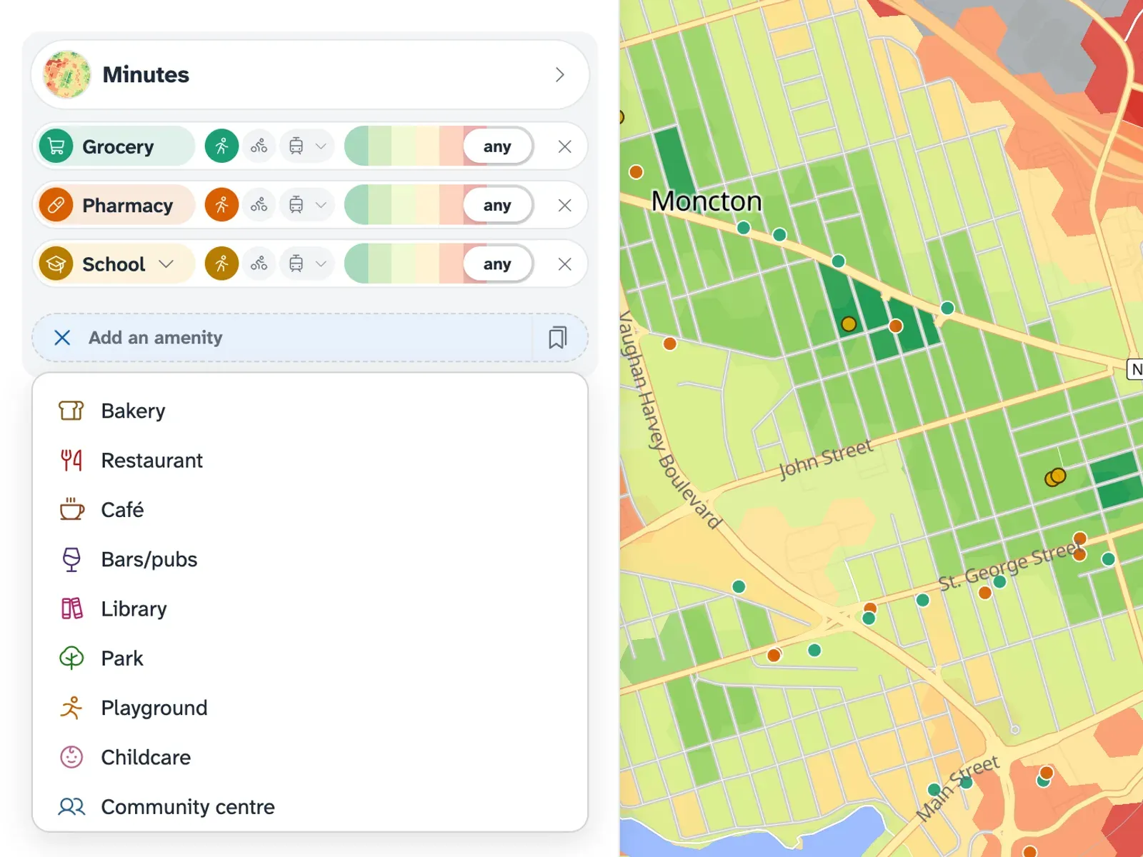
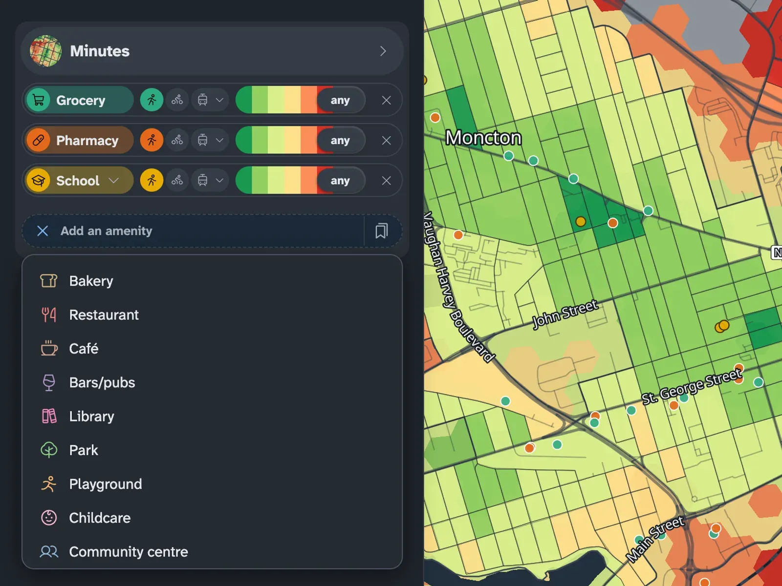
Section titled “Choosing amenities”The amenity picker in the panel lists every kind of place on the map. Add one to colour the map by it, add several to see where they’re all close, and remove one to drop it.
Searching and cities
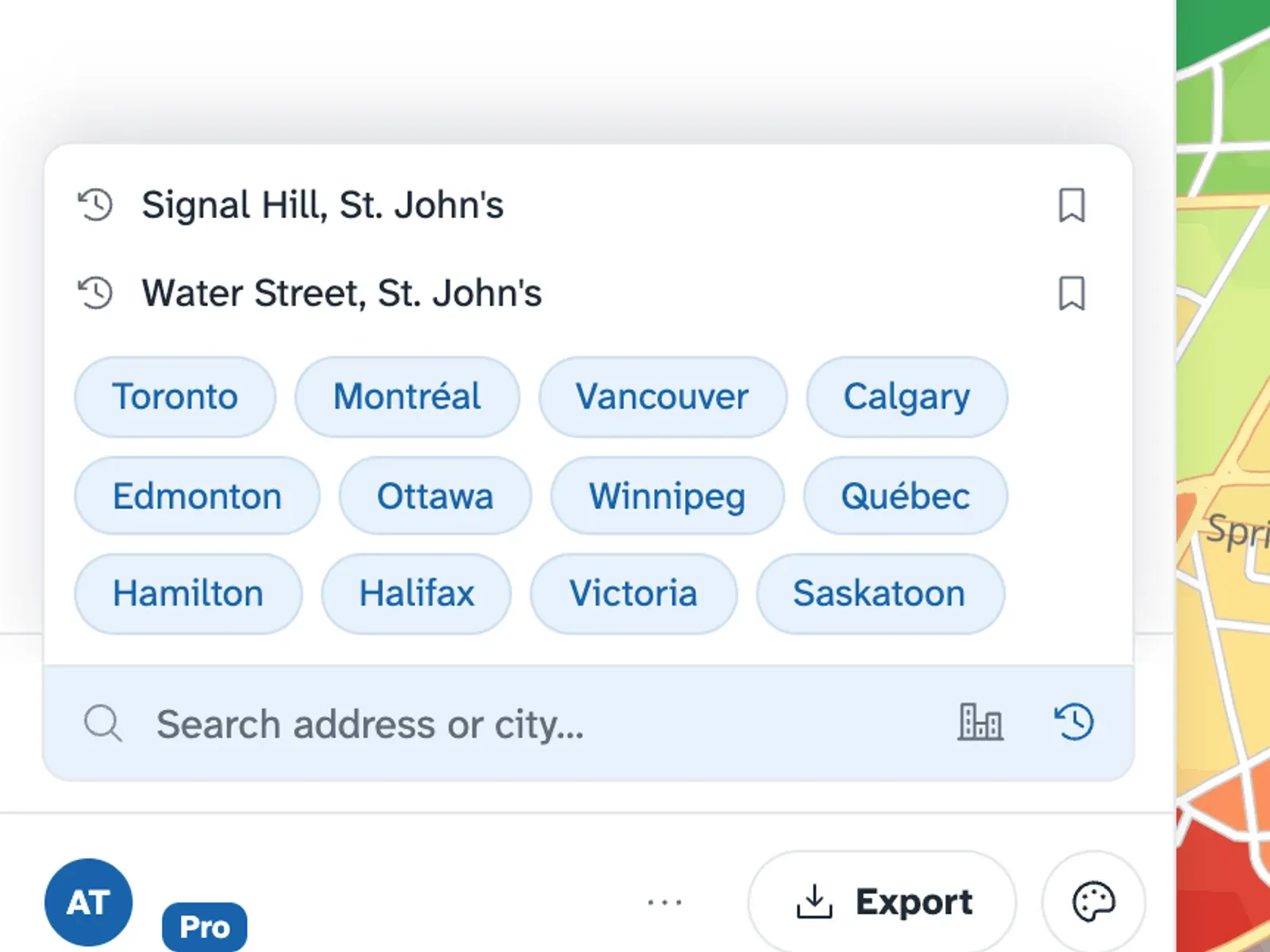
Section titled “Searching and cities”The search field finds towns, addresses and places. The free map shows shortcuts to cities beside the field; choosing one moves the map there. With plus, the Cities button at the end of the field opens those shortcuts. The clock button opens your recent searches, where you can reopen a place, save it to Places, or remove it.
Travel modes
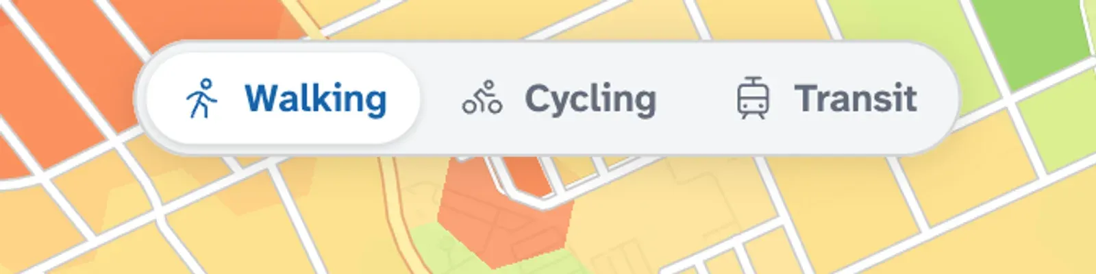
Section titled “Travel modes”The map opens in walking mode. The Walking, Cycling and Transit switch beside the panel (at the top of it on a phone) sets one mode for every amenity you’ve selected. Transit times use the weekday morning peak: the typical (median) trip over 24 departures between 7 and 9 am, within 60 minutes.
Transit times appear wherever an operator publishes a timetable we can use, so a gap in transit times can mean a missing timetable (transit coverage). When transit is on the map, the legend’s Sources link shows you the operators and terms behind the times on screen.
The map is for comparing places. When you’re heading out, check a route planner for the live trip.
Map styles and Streets
Section titled “Map styles and Streets”In à portée plus, the map gains a Map style pane. It sets the colour scale (Red–Yellow–Green, Viridis, Cividis or à portée), the base map (Liberty, Positron, Dark or none), and turns satellite imagery and 3D terrain on or off.
The pane’s Shading row sets what the colours are drawn on. Hybrid, the default, draws the small census blocks and hexagons inside the large ones. Hexagons draws hexagons everywhere, and Blocks draws every block; zoomed far out, where there are no block times, it draws hexagons. Smooth hexagon colours, under More settings, blends the hexagons’ colours instead of stepping them in five-minute bands.
The same row switches to Streets, which colours each street by the hexagon it passes through. Streets are cut at hexagon edges, and each piece takes that hexagon’s times. Streets in a hexagon with no result stay uncoloured. The current release has street colours for walking only, so Streets is available while every amenity is on walking.