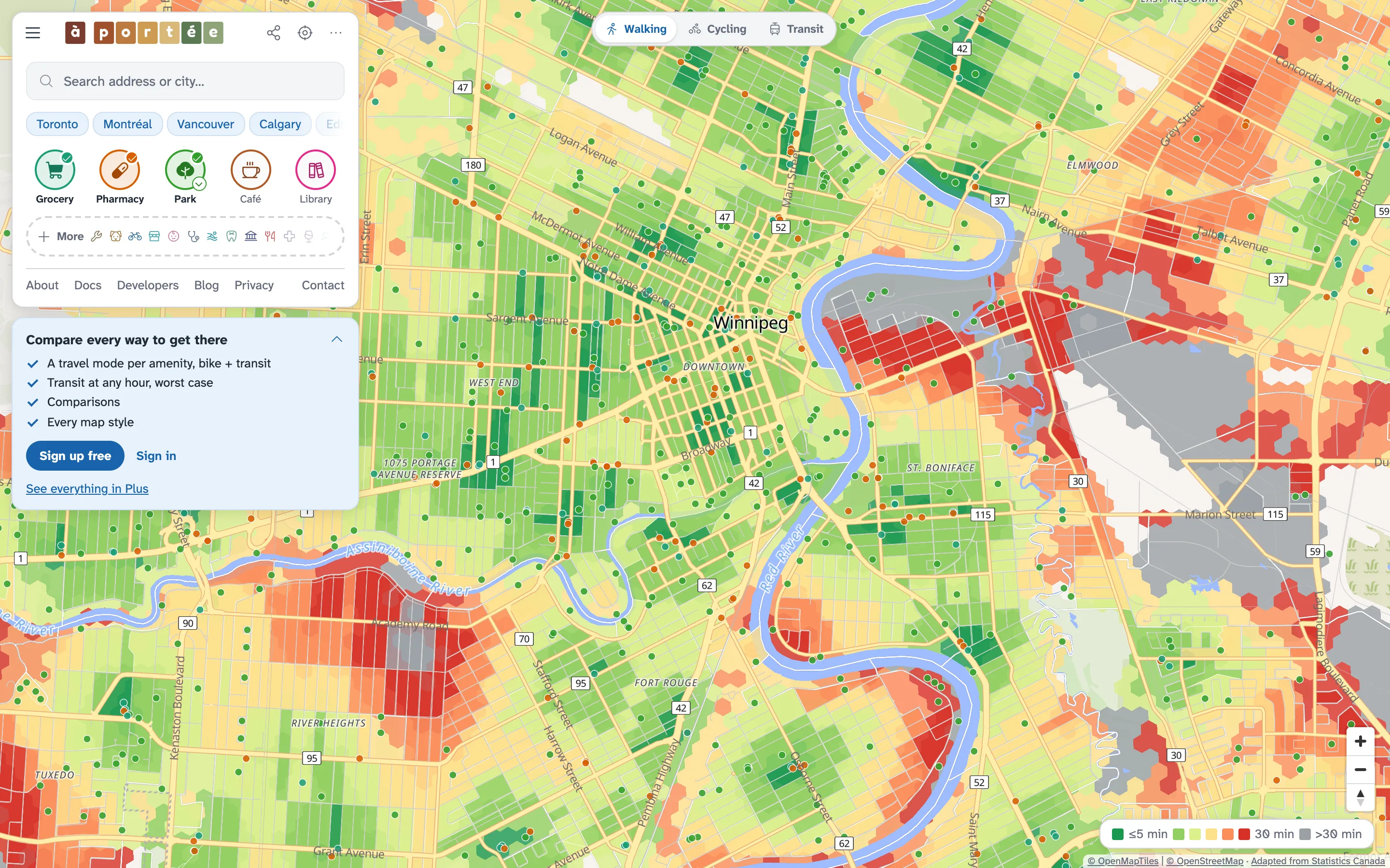
Location intelligence, grounded in real routes
A free map of the everyday places within reach of anywhere in Canada.
Free for everyone, no account needed.
Green is 5 minutes or less, then light green, yellow, orange and red at 30 minutes. Grey is over 30.
- On foot
- By bike
- By transit
Built in Canada for
 HouseholdsBuying · Renting · Moving
 Real estateRealtors · Developers · Landlords
 BusinessSite selection · Retail · Franchises
 MunicipalitiesPlanning · Transit · Public health
 TourismHotels · Tourism boards · Visitors
 ResearchersUrban planning · Health · Equity
Multi-modal, route-aware location intelligence, from sea to sea to sea
- Deeply researched dataDestinations from OpenStreetMap and Overture Maps, with health care and schools checked against Statistics Canada’s open databases.
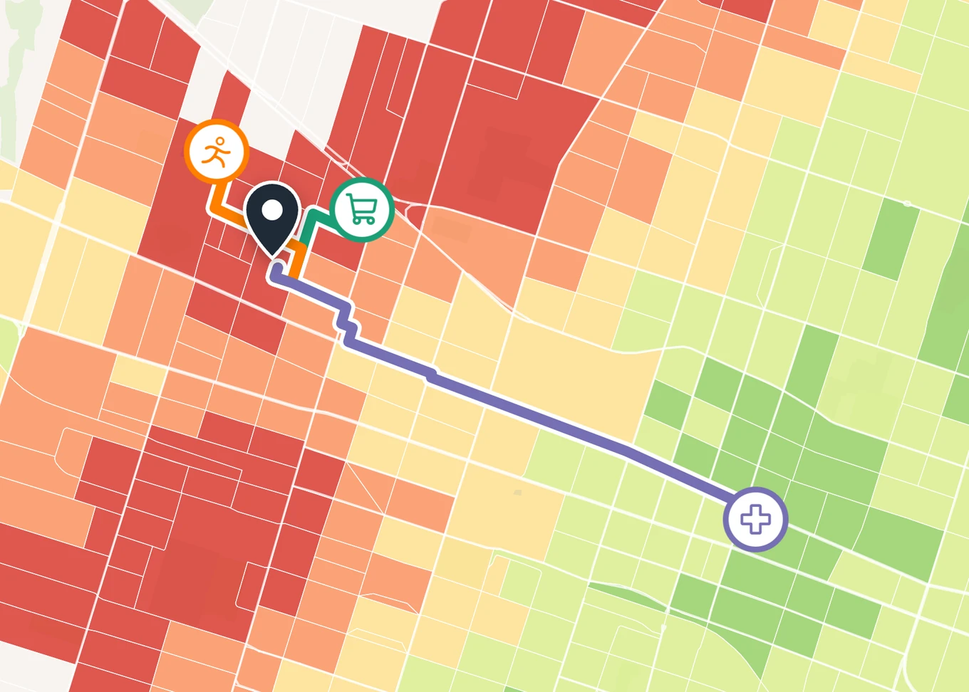
- Real routes, routedEvery minute follows real streets and paths, with hills and transit waits counted. No circles, no straight lines.
- Unique hybrid renderingCensus blocks where they are small, 130-metre hexagons where they are not, so rural areas are as sharp as downtown.
- Pick ’n’ mix amenitiesCombine any of 29 everyday places on one map and see where all of them are close.
- Unparalleled mode choiceWalk to one place, cycle to another, take transit to a third, at any hour of the week.
- Pixel-perfect exportsPrint-ready city sheets and share cards, drawn from the same data and styles as the map.
- Share any viewEvery view is a link: the places, modes, colours and spot you chose open exactly as you left them.
Measured along real streets
à portée’s routing follows the streets and paths used in real travel across Canada, and takes hills and waits for transit into account, instead of drawing circles that only approximate travel time. How the times are computed


29 everyday places
From food and health care to schools, parks and community services, with park sizes and school levels. Mix and match the ones you need. Learn more
- Grocery
- Pharmacy
- Bakery
- Restaurant
- Café
- Bars/pubs
- School
- Library
- Park
- Playground
- Childcare
- Community centre
- Hospital
- Clinic
- Nursing home
- Bookstore
- Hardware store
- Bike shop
- College or university
- Convenience store
- Post office
- Bank
- Dentist
- Laundromat
- Dog park
- Place of worship
- Pool
- Ice rink
- Sports field or court
1,000 communities
Each has its own page: how far everyday places are on foot, by bike and, where there is service, by transit, block by block. All communities
Put it to work
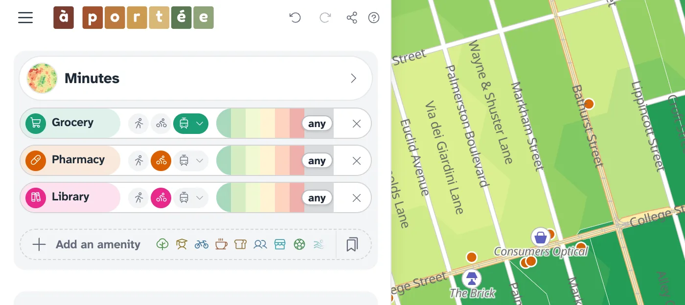
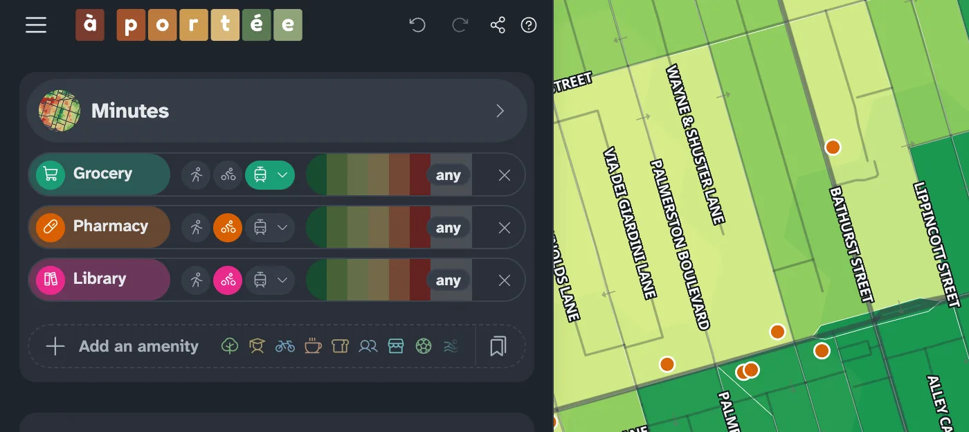 A travel mode per amenityGrocery by transit, pharmacy and library by bike, each with its own time limit.
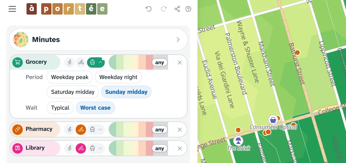
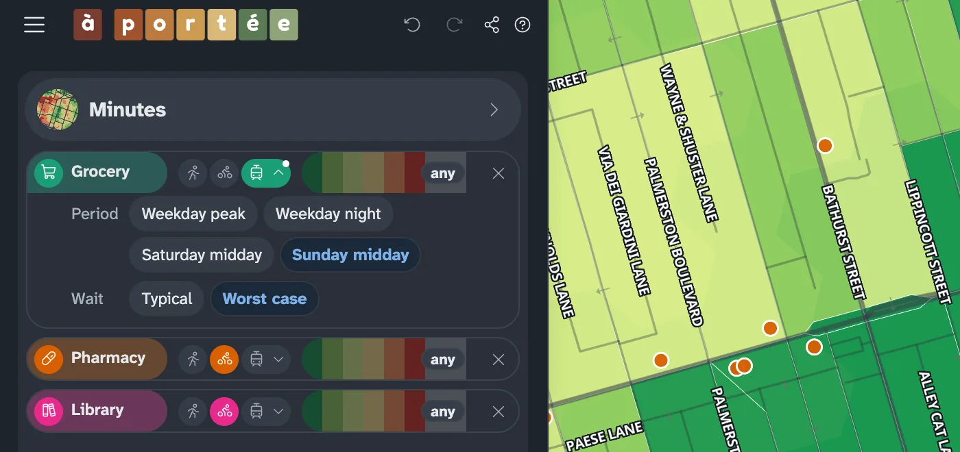 Transit at any hourWeekday peak and night, Saturday and Sunday midday, typical or worst-case wait.
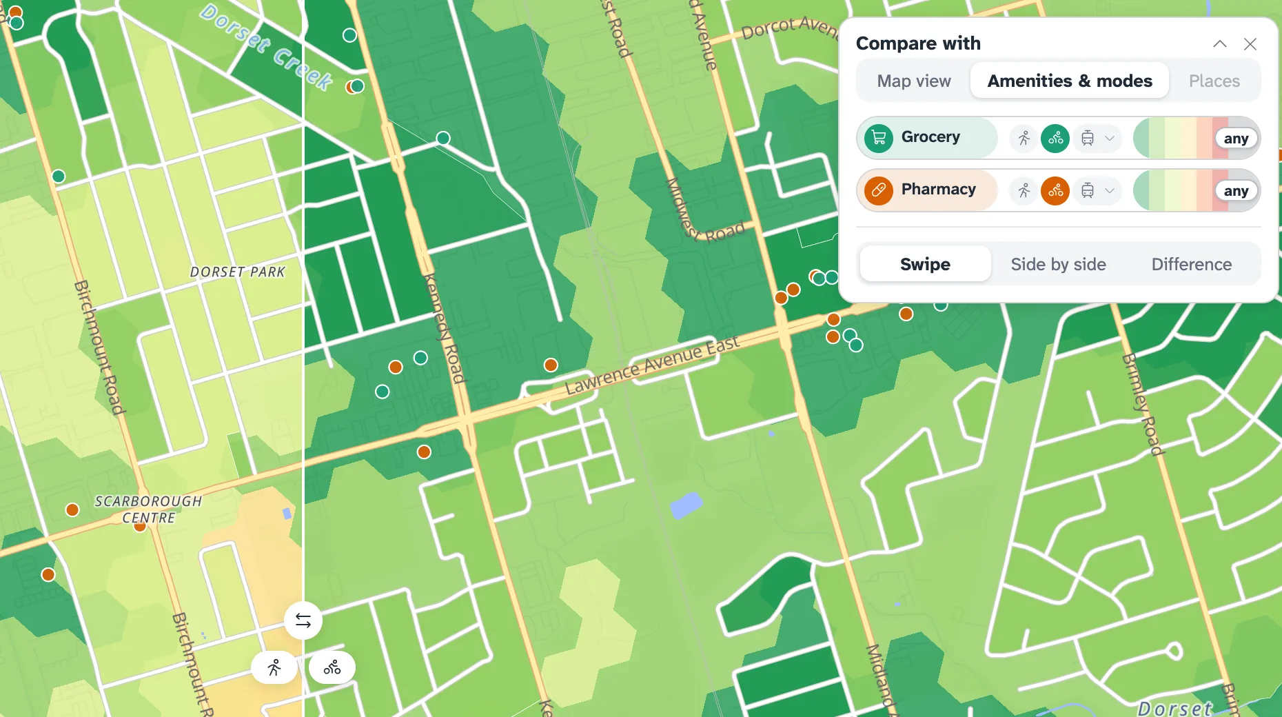
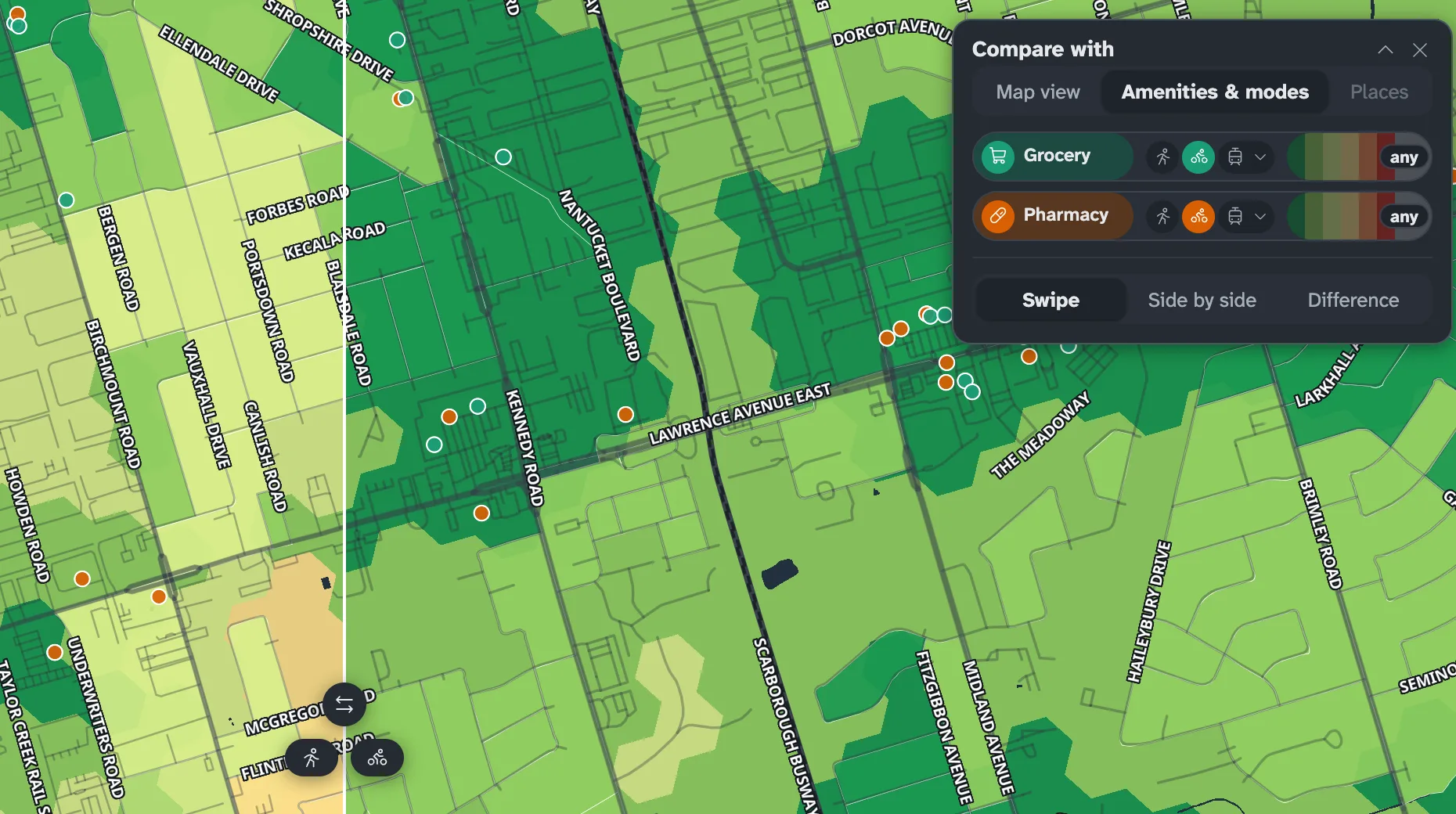 Compare anythingTwo places, two travel modes, two sets of amenities or two map views: swiped, side by side or as a difference.
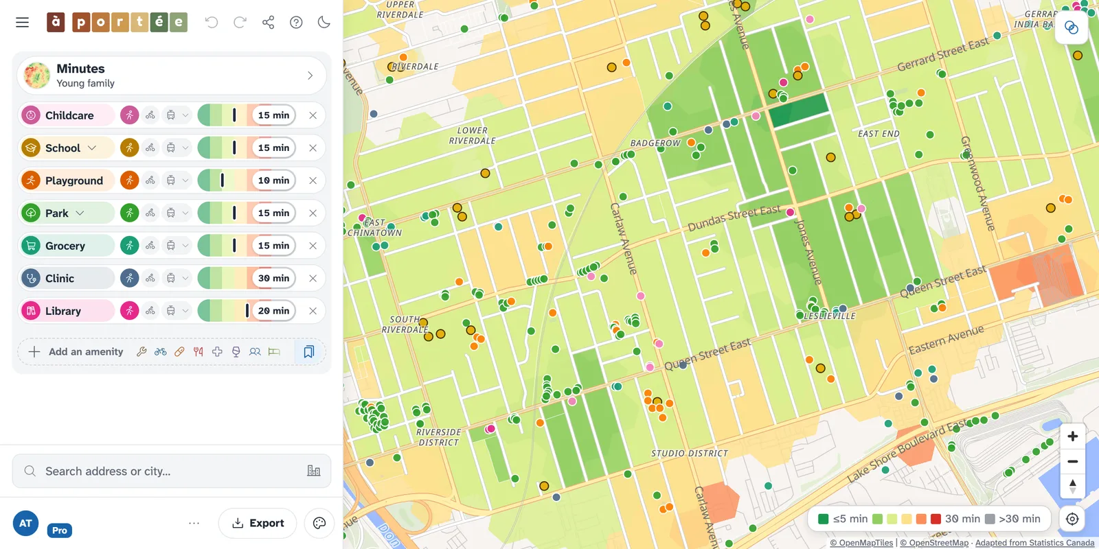
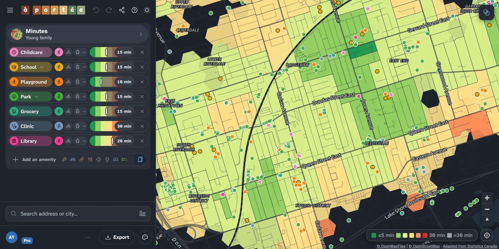 Starter packs and presetsOpen the map on a way of living, like family or car-free, or save your own mix of places, modes and limits.
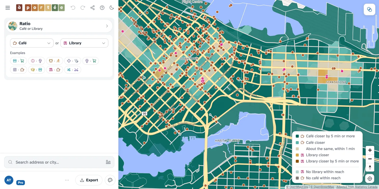
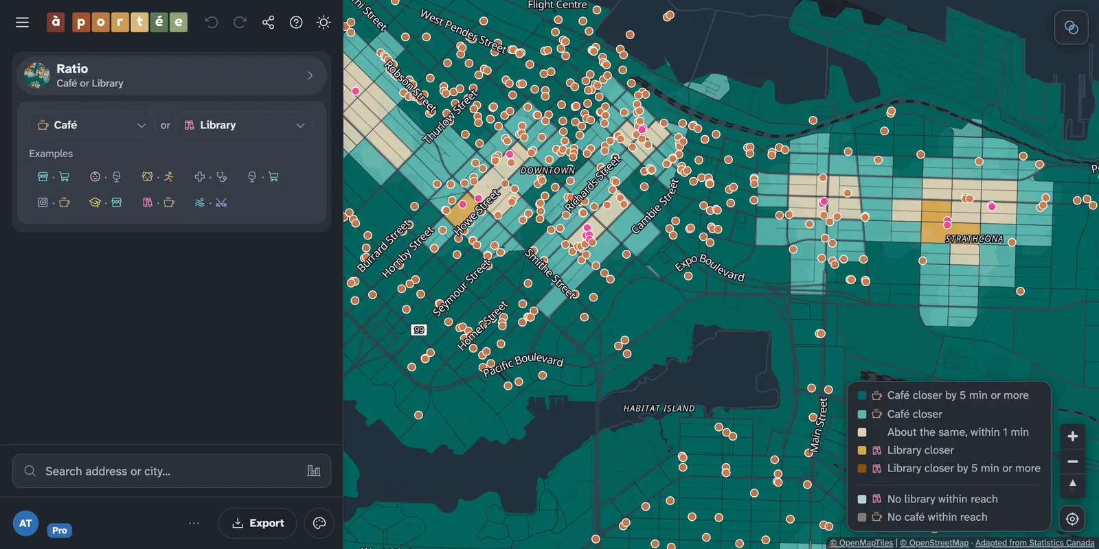 Ratio, to find the desertsCompare two kinds of place and see which is closer, and by how much, block by block.
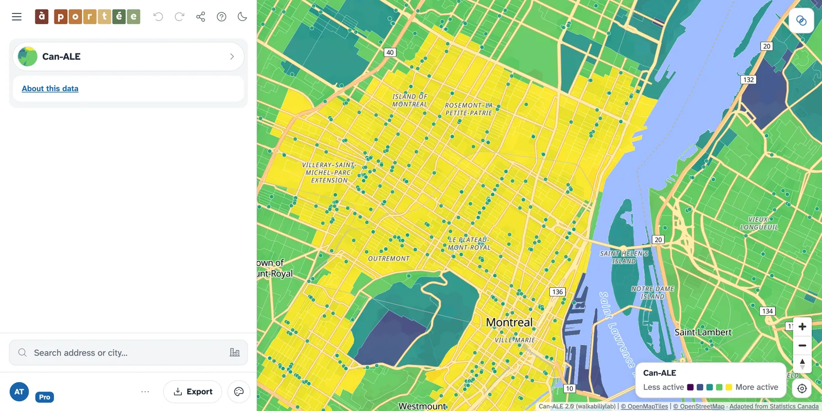
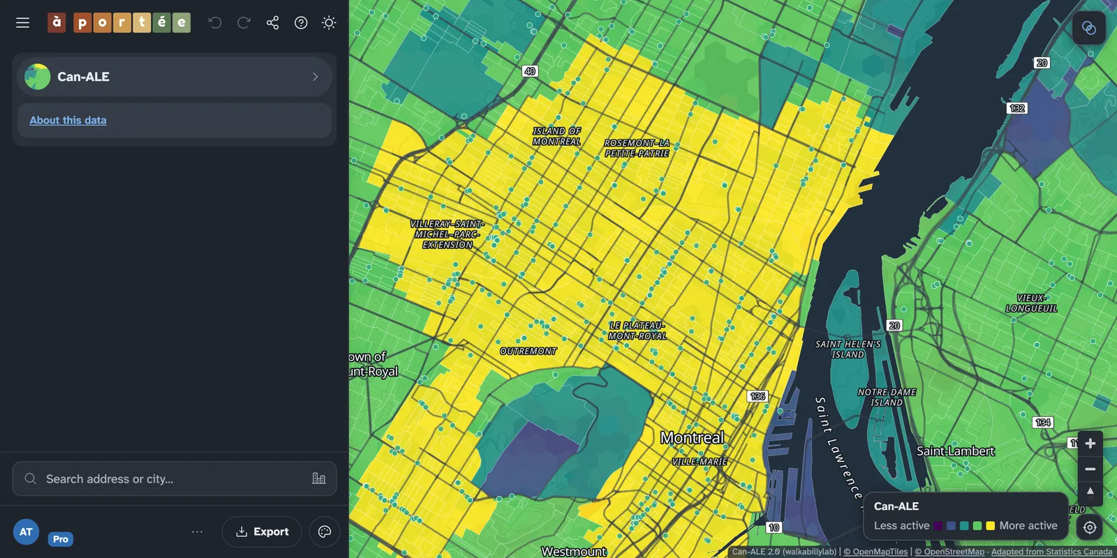 Research-grade indicatorsThe Can-ALE active-living index and Statistics Canada’s SAM measures, beside the travel times.
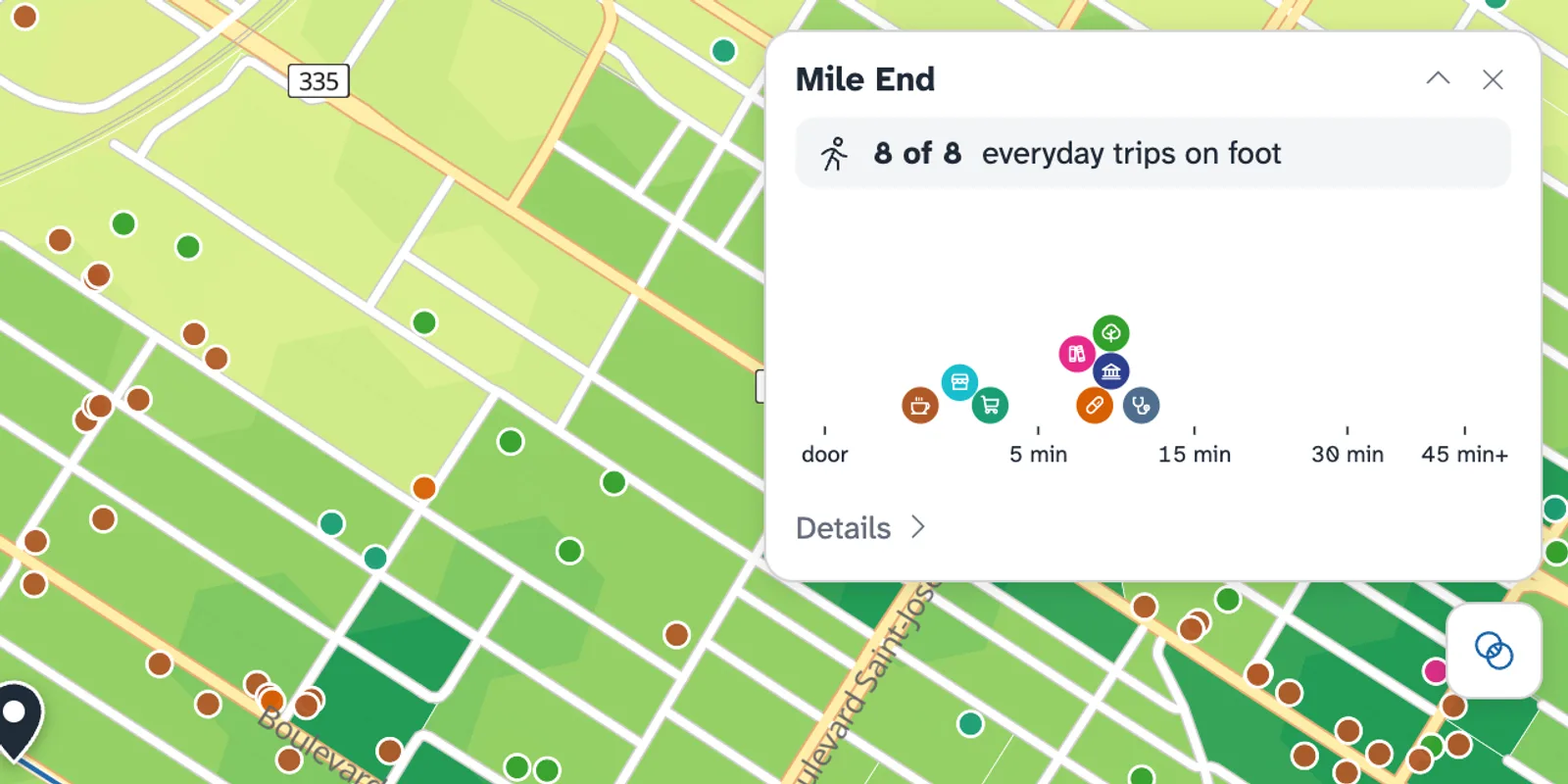
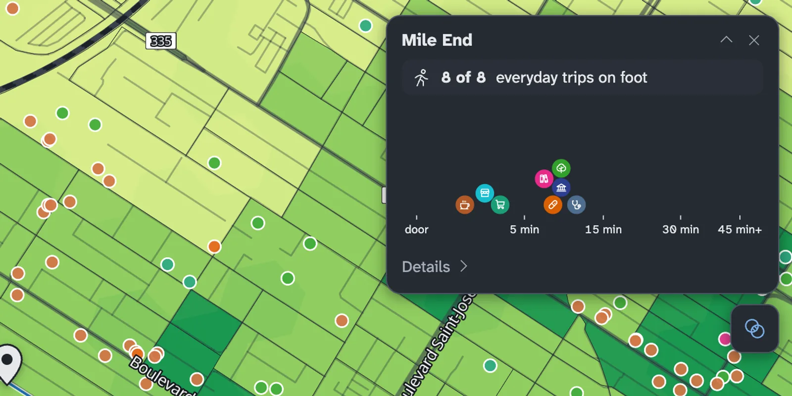 Any spot at a glancePin a place for a card of its trips to everything you picked.
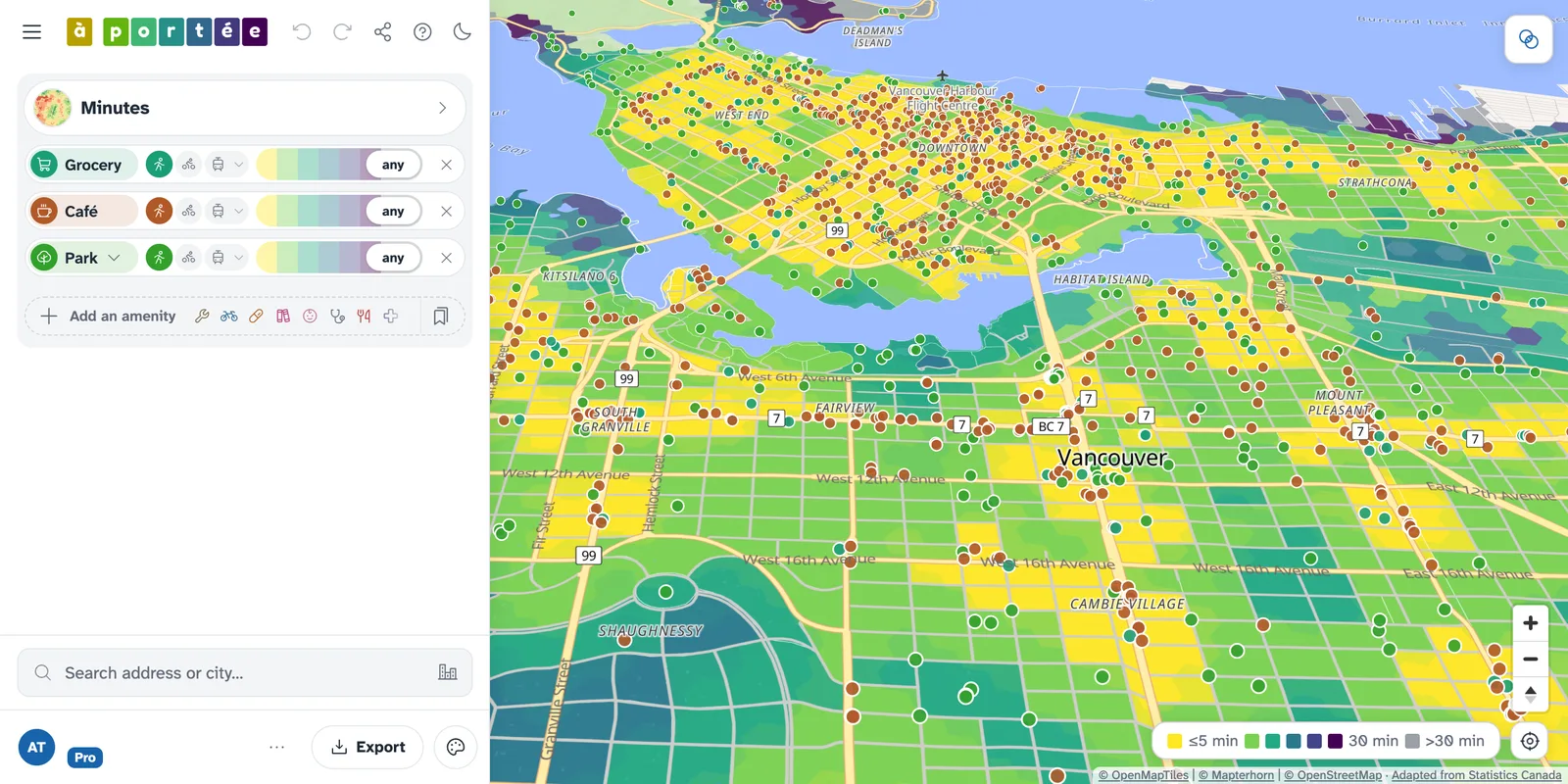
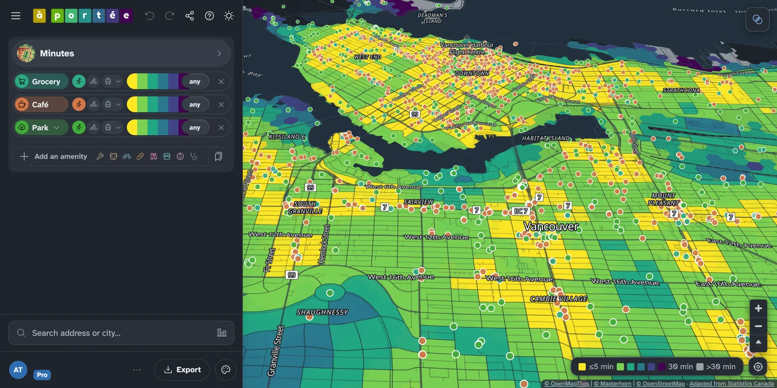 Make it yoursPalettes, basemaps, terrain and satellite, with every view a link you can share.
Free, plus and pro
The map is free, with every amenity across Canada and no account. à portée plus is free too: sign in with an email address to set a travel mode and a time limit for each amenity. à portée pro adds more views and print-ready City sheets.
free
FreeNo account. Open it and search for a place.
What you get
- Every amenity, Canada-wide
- One travel mode for all amenities: on foot, by bike or by transit
- Transit at weekday peak
- The Minutes view in light colours, with the standard map style
plus
FreeFree with an email address. No password, no credit card or commitments.
Everything in the free map, and
- A travel mode and a time limit for each amenity, bike + transit included
- Transit at any hour: weekday peak and night, Saturday and Sunday midday, with a typical or worst-case wait
- Comparisons: two modes swiped, side by side or as a difference; map views, amenities and places
- The Can-ALE and StatCan SAM views beside Minutes
- Saved views and presets
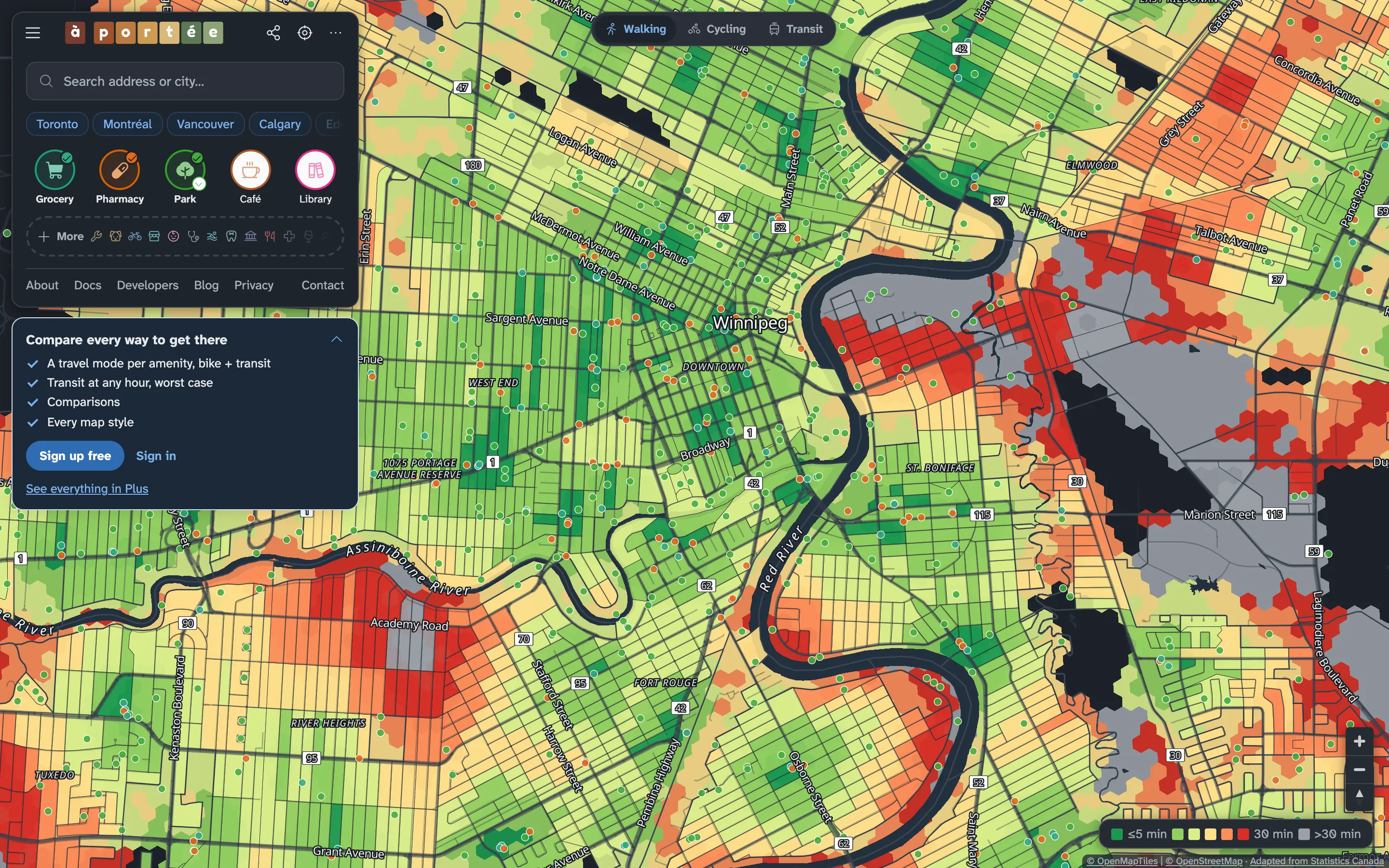
- A dark map, with dark panels to match, for evenings
- Your own map style: palettes, basemaps, terrain and satellite
- Export the map as an image, with its legend
pro
CAD $20 a monthMore views and print-ready sheets. Cancel any time.
Everything in plus, and
- Four more map views: No car, Ratio, Landscape and Skyline
- City sheets: a print-ready picture of a municipality, one panel per type
- Lots more to come
Organisations, paid or public-sector work and larger use need a licence or agreement: services@aportee.ca. That covers bulk and historical data, custom analysis and use in a product.
Questions
- Do I need an account?
- No. The map is free without one. à portée plus is free with an email address: we send a sign-in link, with no password, no credit card and no commitments.
- What if I want more?
- à portée pro adds four more map views and print-ready City sheets for CAD $20 a month, and it keeps the free map running for everyone. Cancel any time.
- Can I use it at work?
- Personal use is free. Organisations, paid or public-sector work and larger use need a licence or agreement: services@aportee.ca.
- What data are you using?
- Destinations come from OpenStreetMap and Overture Maps, cross-checked by our own validation algorithms, with hospitals, clinics, nursing homes and schools checked against Statistics Canada’s open databases. Travel times are routed on the street network with Natural Resources Canada’s elevation model and every transit feed we can find. Methodology
- Something on the map is wrong.
- Tell us on the map: click the place and choose the flag, or open the Help menu, and say what looks wrong. If the place comes from OpenStreetMap, a fix there also reaches the map in a later monthly update.
See what’s within reach
We think understanding equity and access across Canada is important: à portée is a free resource for everyone.
Open the map