
What is à portée?
à portée (French for within reach) shows how long it takes to reach everyday places from every block in Canada, on foot, by bike or by transit. Pick the places that matter to you, such as a grocery store, a school or a park, and the map colours each block by the time it takes to get there.
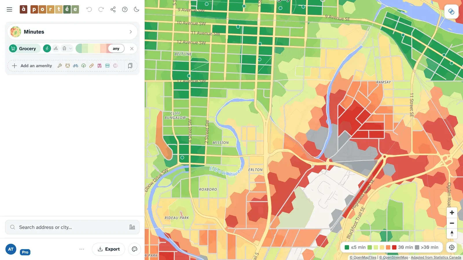
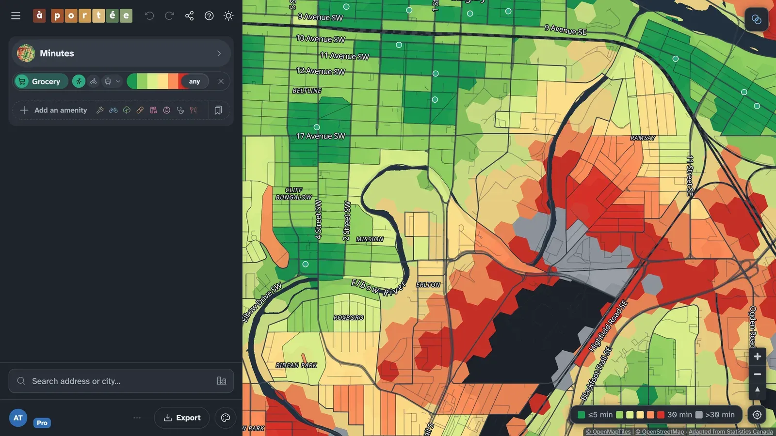
Measured along real streets
Section titled “Measured along real streets”Instead of drawing circles around places, à portée routes every trip along the streets and paths in OpenStreetMap, with R5, an open-source routing engine. The routing also accounts for hills and for time spent waiting for transit.
For the full details, check out the Methodology page.
Everyday places
Section titled “Everyday places”à portée covers a wide range of everyday destinations, from food and health care to schools, parks and community services:
- Grocery
- Pharmacy
- Bakery
- Restaurant
- Café
- Bars/pubs
- School
- Library
- Park
- Playground
- Childcare
- Community centre
- Hospital
- Clinic
- Nursing home
- Bookstore
- Hardware store
- Bike shop
- College or university
- Convenience store
- Post office
- Bank
- Dentist
- Laundromat
- Dog park
- Place of worship
- Pool
- Ice rink
- Sports field or court
For details on what counts for each point of interest, check the Amenities page.
Fresh data
Section titled “Fresh data”The places come from OpenStreetMap and Overture Maps, checked against Statistics Canada’s databases of health and educational facilities. We rebuild the maps and routes every month; we last updated the data on October 8, 2026.
Data on demand
Section titled “Data on demand”You can download the amenity database as open data, or ask us for bulk extracts, earlier versions or custom analysis.
What now?
Section titled “What now?”- The map: search for a place and start exploring.
- Reading the map: a guide to the à portée interface.
- Map views and presets and starter packs: other ways to colour the map, and ready-made sets of amenities.
- Methodology: how travel times and amenity counts are measured.
- Services: data extracts and custom analysis.